Mapping Hazards for Disaster Risk Reduction and Management DRRM (Ref: BM-112)
Examples of Hazard Maps
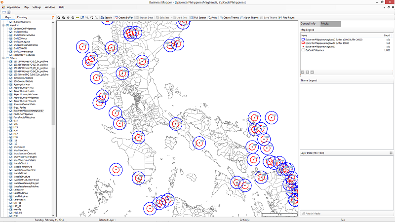
Historical Philippine earthquakes with magtitude 6 and 7.
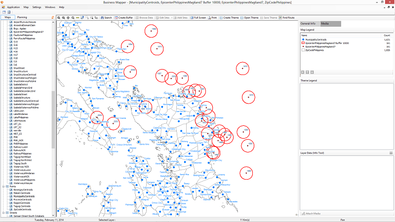
Buffering is a great tool to display approximate distances of hazards.
Luzon Area (Buffered at 5 and 10 Kms from epicenter)
Visayas Area (Buffered at 5 Kms from epicenter)
* source United States Geological Service (USGS).
Note: If this article leads to you making an inquiry to us, please use reference RE: BM-112 when you email us with your inquiry.